
Trace a Walpole Street by Address
Address research in Walpole works best as a chain, not as a claim that one result identifies everyone at a location. Begin with the current Town Clerk street, ZIP, and precinct table. The February 27, 2026 PDF records street names, number ranges, ZIPs, and precincts. Next, use the parcel tools for a situs address and a tax-owner snapshot. The Norfolk County Registry of Deeds can then tie a recorded party to an instrument. A state voter result, if available for a named individual, is a separate and limited check. Each source answers a different question.
Keep the date beside every result. An assessor listing has a fiscal-year date, a deed has recording and instrument dates, a street-list entry has an edition year, and a voter result depends on the search date. Those labels prevent a historic address, recorded owner, or civic-list appearance from being presented as a current household fact.
- Find the exact street-number row in the Town Clerk PDF, including its ZIP and precinct.
- Search the address in the Walpole assessor or tax kiosk and save the situs address, owner field, and MBLU or Map/Lot/Sub reference.
- Open the same parcel in MassGIS to inspect its geometry, valuation and use fields, then use Find Abutters only for adjacent-parcel context.
- Search the Norfolk Registry by address when available, or by party, town, legal description, plan, and book/page for an older instrument.
- Use the individual voter form only for a named person with the required details, then consult dated library street lists or directories for historical context.
Walpole Street Ranges Need Exact Numbers
Walpole’s long streets make number range and parity essential. Washington Street is divided by the current Clerk table into more than one ZIP and more than one precinct. The table includes 02032 for 1–362 and 364, plus 363 and 365–653 on another precinct row. It assigns 02081 to 680–959, even 1136–1184, odd 1029–1177, odd 1217–1431, and even 1468–1600 in 5A. The 02071 segment includes 1601–1955, while odd 1451–1557 appear under another row. A street name without its number can therefore point to the wrong postal or civic geography.
West Street also has multiple 02081 ranges, including numbers from 33 through 1025 or 1043 and odd 1061–1187. For a historical question, compare the applicable edition of the street table rather than forcing an older address into a current row. The 2022 table, for example, showed Old Post Road split between 02032 for #1 and 9–170, and 02081 for 380–929 and 985–1000.
Note: The Clerk table is a street-range crosswalk, so its exact row is more reliable than a street name alone for ZIP and precinct work.
Walpole Street Directory Search Keys
The Walpole Assessor Online Database is the first parcel checkpoint for a by-address search. Its FY2027 information identifies a tax snapshot, not a live resident roll. FY2027 runs from July 1, 2026 through June 30, 2027; ownership on those tax bills is as of January 1, 2026, and the database showed a July 6, 2026 update. A purchase after that ownership date first appears on the FY2028 first-quarter bill. Use the owner field as a dated tax relationship, not proof that a person occupies the site.
View the Walpole Assessor Online Database before entering an address or parcel key.
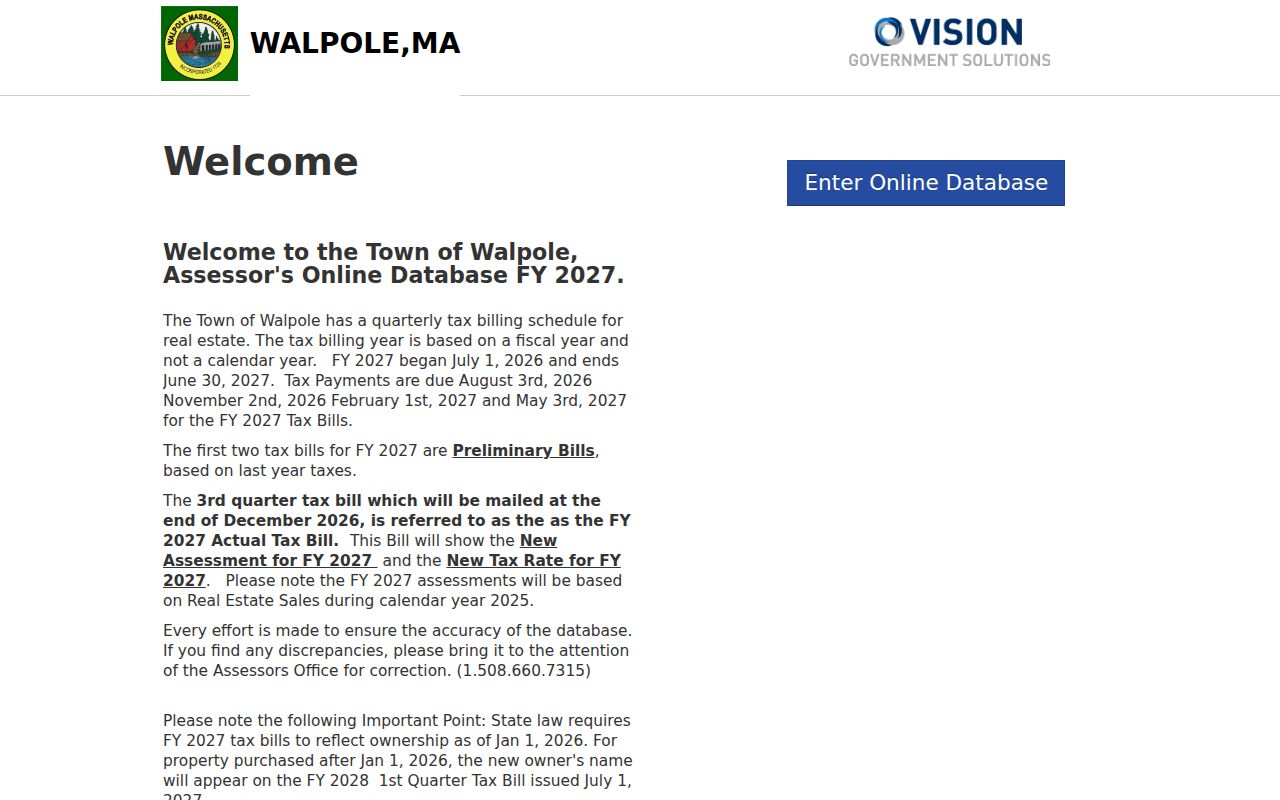
The screen establishes the FY2027 context that should travel with any owner or address result copied into research notes.
Walpole’s linked tax kiosk provides three routes. Owner search accepts a broad surname such as doe, doe, john, or doe john. Address search accepts a full or partial phrase such as 120 north main or main. Parcel ID is also called MBLU, and the kiosk breaks that key into Map, Lot, and Sub.
| Tax-kiosk field | Type | When used | Format detail |
|---|---|---|---|
| Owner | Text | Owner search | Use a broad surname first, then add a given name if needed. |
| Map | Text | Parcel mode | First component of Map/Lot/Sub. |
| Lot | Text | Parcel mode | Second component of Map/Lot/Sub. |
| Sub | Text | Parcel mode | Third component of Map/Lot/Sub. |
| Address | Text | Address search | Full or partial street phrase. |
| Search | Button | All modes | Submits the tax-kiosk request. |
Map Parcels Along a Walpole Street
Use the Walpole MassMapper parcel viewer after the assessor search has supplied a likely situs address or MBLU. An address or place search offers typeahead. A map click opens a selected parcel, where the popup can show owner, land valuation, and use. The viewer also offers a selected or map-extent attribute table, layers, measurements, buffer tools, downloads, printing, sharing, and coordinates. These controls help compare parcels along a street without turning a map into title evidence.
Open the Walpole MassMapper parcel viewer to inspect the local map interface.
Parcel geometry helps organize a by-address search, but the Registry deed and a professional survey control different legal questions.
For a block edge, MassGIS has a Find Abutters tool with a unit choice. It is useful for finding physically adjacent parcels, then checking each one separately in the assessor and Registry. The state describes parcel maps as representations. Recorded deeds are authoritative for ownership and a professional survey is legally authoritative for boundaries.
Review the Massachusetts Interactive Property Map for the statewide tool description and parcel-map warning.
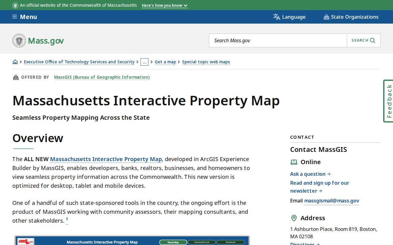
Use an abutter result as a prompt to verify each parcel, not as a block-wide list of people.
Walpole Street Deeds Need a Second Key
The Norfolk Registry online research portal carries recorded-land indexes and images from 1793, and its registered-land indexes begin in 1973. Address indexing is generally available for applicable documents since 2003 but is very limited before then. An older by-address search often needs a current or former owner, grantor or grantee name, legal description, town filter, plan reference, or book/page. The recorded-land and Land Court systems are separate, so an empty result in one is not a conclusion about the property.
Use the Registry research portal to search Walpole by party, address, town, date, document type, book/page, or plan details.
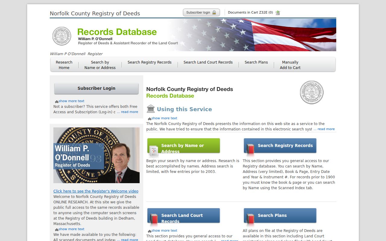
The index points to recorded instruments and their parties, while the linked image supplies the legal description and other document detail.
Free on-screen images carry a “not an official copy” overlay. The Registry guide lists clean images by mail at $1 per page plus $1 per document, while its professional online subscription is listed at $100 annually with $1-per-page images and an initial $200 check arrangement. This is a practical difference between an index lead and a clean copy. Check the Registry’s current terms before paying or requesting a document.
Note: Pre-2003 address gaps call for owner, plan, town, legal-description, or book/page searching rather than an address-only conclusion.
- Parcel
- A mapped piece of land used by the assessor and GIS as a geographic unit.
- Situs address
- The physical location assigned to a parcel, which can differ from an owner’s mailing address.
- Legal description
- The deed’s formal land description, used to connect older records when a street address is absent.
- Criss-cross directory
- A historical directory arranged to connect addresses or streets with listed names when such an edition provides that structure.
Walpole Street Records Compared
A Walpole address search uses several records because their fields do not mean the same thing. The assessor supplies a fiscal-year owner and parcel snapshot. MassGIS supplies parcel geography and an approximate map representation. The Registry supplies recorded parties and instruments. Building permits show project activity, while library lists and city directories supply dated civic or historical presence. Keeping the relationship field beside the result makes a street-by-street file more accurate.
| Address record | Local keeper | What it can show | Key limit |
|---|---|---|---|
| Assessor and tax kiosk | Walpole Assessors | Situs, owner snapshot, MBLU, valuation, and use | FY2027 ownership is dated, not an occupant list. |
| MassGIS parcel map | MassGIS / MassMapper | Geometry, selected parcel, land valuation, use, and abutters | Map representation is not a deed or survey. |
| Recorded land index | Norfolk Registry of Deeds | Recorded party, instrument, date, book/page, and image link | Older address indexing is sparse. |
| Street and precinct table | Walpole Town Clerk | Street range, ZIP, parity, and precinct | Use the exact number row. |
| Individual voter form | Massachusetts Secretary of the Commonwealth | Limited match for a named person | It is not a street browse tool. |
| Building permits | Walpole Building Department | Address-linked project or application activity | Applicant is not necessarily the owner or resident. |
| Historic directories and lists | Walpole Room and Historical Society | Dated person, street wording, village, or role | Older entries may lack numbers and contain OCR errors. |
For a past household, the Walpole Room’s historical volumes are a better fit than a current parcel screen. The Walpole city directory collections describe the 1884–1918 run and its landmark-based entries. Those editions can bridge a period between deeds, but a listed boarder, business, or household role should not be relabeled as recorded ownership.
Walpole Street Voter Checks Are Individual
The Massachusetts Voter Registration Search is not a public street-by-street browser or bulk list. It asks for first name, last name, birth month, day, and year, a five-digit residential ZIP Code, and an agreement checkbox. A no-match can reflect spelling, ZIP mismatch, timing, registration status, or confidential status. Use the Town Clerk’s number-range row to check the address geography before trying a legitimate individual query.
Open the Massachusetts individual voter lookup only when the required information is available.
The form’s required identity fields show why a ZIP and street name alone cannot produce a voter list for a whole block.
Most local voter and election records are public through qualified local channels, but confidential voter information is protected. The statewide voter file is controlled rather than a general public download. A focused request to the Town Clerk should identify a specific public election record or a Walpole street list for a particular year, then confirm any current fee or access condition with the office.
Note: Library street lists identify persons age 17+ for listed years, so they are historical civic evidence rather than proof of every household member.
Historic Clues for a Walpole Street
Use the Walpole Building Department permit route as an address-activity layer. A permit can supply a project, application, or status date, and may expose applicant or contractor fields when shown. It does not establish that an applicant lived at the address. Preserve the permit type and date, then corroborate the land relationship through the assessor or Registry.
Before modern street numbers, Walpole directories often used a village and landmark. The 1884 directory includes wording such as Main “near Willet” and Beach “cor. Kendall,” along with East Walpole and South Walpole labels. Pair that wording with the 1876 atlas, 1904 atlas boundaries, the 1904 Sanborn sheet, later numbered lists, and deed plans. The Library’s street-list run covers 1923, 1924, 1927, 1928, 1931, and 1932–2023, with gaps, which makes the edition date important.
Walpole’s town boundaries also changed over time. The town formed in 1724, with later transfers involving Foxborough, Sharon, and Dedham. A historical address or family can therefore surface under a neighboring jurisdiction. That is a records-geography question, not proof that a modern parcel lies outside Walpole.
Limits of a Walpole Street Directory
No combination of parcel, deed, voter, permit, and directory data can become a complete current household roster. Owner, grantee, voter match, historical occupant, business entry, and permit applicant are separate roles. Do not copy sensitive identifiers from an instrument, treat a same surname as a relationship, or use an approximate map as a legal boundary. A protected voter or Address Confidentiality Program participant may correctly be absent from a result.
Lawful use. Walpole address records support personal, lawful research and property history. Do not use them to stalk, harass, intimidate, or reconstruct a protected address; safety-sensitive matters belong with official authorities and the Massachusetts Address Confidentiality Program.