
Walpole Postal Areas by Delivery
Three located ZIP codes serve Walpole. They describe delivery geography, not three separate towns or a resident count. The Town Clerk’s street table shows the ZIP, street-number range, and precinct together, while USPS confirms delivery for a particular address. East Walpole, South Walpole, central Walpole, and other delivery areas therefore need to remain distinct from a legal parcel description or town-limit statement. The table below preserves that difference and identifies the local postal stops found in the research.
| ZIP | Areas covered | Post office | Notes |
|---|---|---|---|
| 02032 | East Walpole, including current Washington Street and Old Post Road segments | East Walpole Post Office, 31 Union Street, East Walpole MA 02032-9998, 508-660-1592 | Street ranges can split ZIP and precinct. Posted hours were Mon–Fri 8:30–4:30 and Sat 9–12. |
| 02071 | South Walpole, including portions of Washington Street | South Walpole Post Office, 44 Summer Street, South Walpole MA 02071-9998 | USPS result listed Mon–Fri 6–5:30 and Sat 6–3:30; confirm current hours. |
| 02081 | Central and other Walpole delivery areas, including segments of Washington, West, and Old Post roads | Walpole Post Office, 10 Common Street, Walpole MA 02081 | One town can have several delivery areas. USPS is the current address check. |
Open the USPS ZIP Code Lookup to confirm the delivery assignment for a known address.
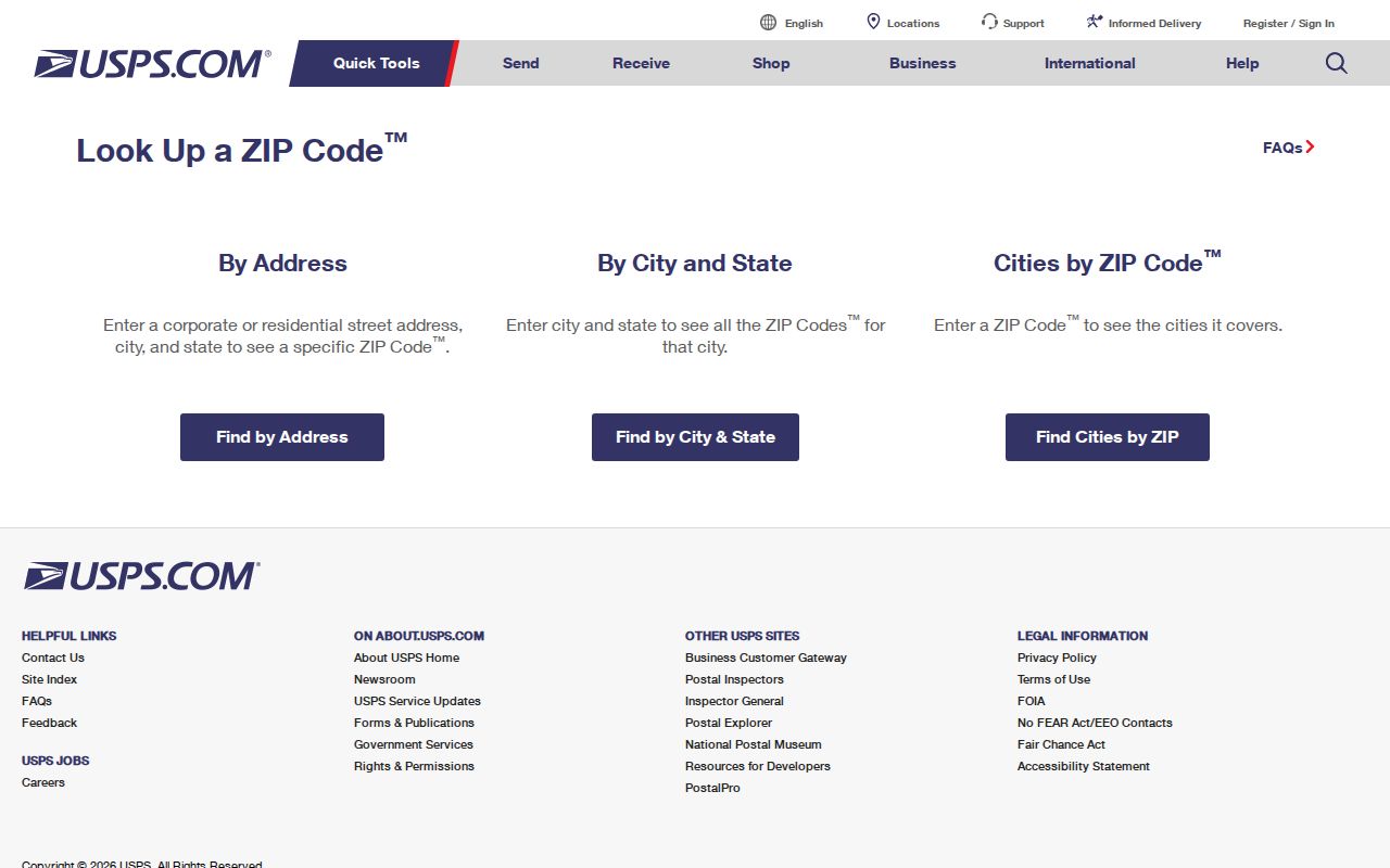
The USPS form provides address, city-and-state, and ZIP-to-city modes, each useful for a different postal question.
Walpole ZIP Code Directory Fields
USPS offers three distinct search modes. By Address is the delivery check when a street address is known. By City and State returns the full list of postal ZIP choices and may need an address follow-up. Cities by ZIP returns recognized or recommended city names for a five-digit ZIP. A result is not proof that a person or company is at that address, so retry an unsuccessful address without an optional company name or with a corrected address variant.
| USPS mode or field | Type | Required | Use |
|---|---|---|---|
| By Address, Company | Text | No | Optional company field. |
| By Address, Street Address | Text | Yes | Exact street-delivery input. |
| By Address, Apt/Suite/Other | Text | No | Optional secondary address. |
| By Address, City | Text | Yes | City or postal locality. |
| By Address, State | Dropdown | Yes | Select Massachusetts. |
| By Address, ZIP | Text | No | Use to refine a result. |
| By Address, Find | Button | Not applicable | Returns the ZIP and delivery result. |
| By City and State, City | Text | Yes | Returns the full list for the locality. |
| By City and State, State | Dropdown | Yes | Select the state. |
| By City and State, Find | Button | Not applicable | Runs the city search. |
| Cities by ZIP, ZIP | Text | Yes | Enter five digits. |
| Cities by ZIP, Find | Button | Not applicable | Returns recognized city names. |
Postal locality labels should be retained as postal labels. An East Walpole or South Walpole mailing label does not alone establish whether a parcel is within a particular municipal boundary.
Note: A USPS delivery response confirms postal routing, not a person’s presence, parcel ownership, or municipal-boundary status.
Find a Walpole ZIP Through Records
The useful search route depends on whether the question is delivery, parcel, recorded title, or an individual voter verification. No documented official Walpole assessor search filters an entire result set by ZIP. The Walpole tax kiosk supports address and parcel modes, while the Registry supports town, date, name, address, and document searches rather than a verified ZIP filter. That means a postal area narrows geography first, then an address or parcel key selects the appropriate record.
- Use USPS By Address to establish the delivery ZIP for the known street address.
- Read the matching row of the Walpole street and precinct PDF for the number range, ZIP, and precinct.
- Search the assessor or tax kiosk by address or Map/Lot/Sub, and keep the situs address separate from an owner mailing address.
- Use MassGIS approximate ZIP polygons or parcel layers for geographic context, then verify the parcel through the deed or assessor record.
- Use the state voter form only for a named person with date of birth and residential ZIP. It is not a ZIP-wide browsing tool.
Once a delivery area has narrowed the address, the Walpole street directory route provides the parcel, title, and street-range sequence. Historical directories need a separate method because the 1884 local sample predates ZIP codes and uses streets, villages, and landmarks instead.
Walpole Postal Splits on Washington Street
Washington Street is the clearest local warning against treating a single road as one ZIP or precinct. The current Clerk table places 1–362 and 364 in 02032, and also places 363 and 365–653 in 02032 on another precinct row. It places 680–959 and even 1136–1184 in 02081. Other 02081 rows include odd 1029–1177, odd 1217–1431, and even 1468–1600 in 5A. Odd 1451–1557 appear in a separate row, while 1601–1955 are in 02071.
That range-and-parity split is not an error to smooth out. It is the reason a known street number matters before assigning a delivery area or precinct. West Street has multiple 02081 rows as well. The older 2022 table recorded a different useful comparison for Old Post Road, with 02032 at #1 and 9–170, then 02081 at 380–929 and 985–1000. For historic research, use the period-appropriate table and record the edition date.
Note: A postal delivery area and a precinct are different systems, and either one can change along the same Walpole street.
Walpole Delivery Results Need Context
A USPS result answers a delivery question. It does not confirm that a named person or organization receives mail at the address. Likewise, an assessor record gives a fiscal-year owner and tax context, a Registry instrument names recorded parties, and a voter result is an individual verification result. These are useful records, but each describes a different relationship to an address.
Keep four labels separate in Walpole notes: the assessor or GIS situs address, the tax mailing address, the deed’s legal description, and the USPS delivery ZIP. The voter form uses residential ZIP as one required identity key. A deed property address and a USPS delivery ZIP can differ, and a same ZIP is never enough to connect two people or parcels.
Walpole ZIP Code Parcel Route
The Walpole Assessor Online Database is a useful next step after a ZIP has been verified for a specific address, but it is not a ZIP-wide directory. Search by owner, address, or the Map/Lot/Sub parcel key. The FY2027 database says assessments rely on calendar-2025 real-estate sales, ownership is as of January 1, 2026, and the database was last updated July 6, 2026. A later purchase is scheduled to appear on the FY2028 first-quarter bill.
Review the Walpole Assessor Online Database for the tax-year and parcel-search context.
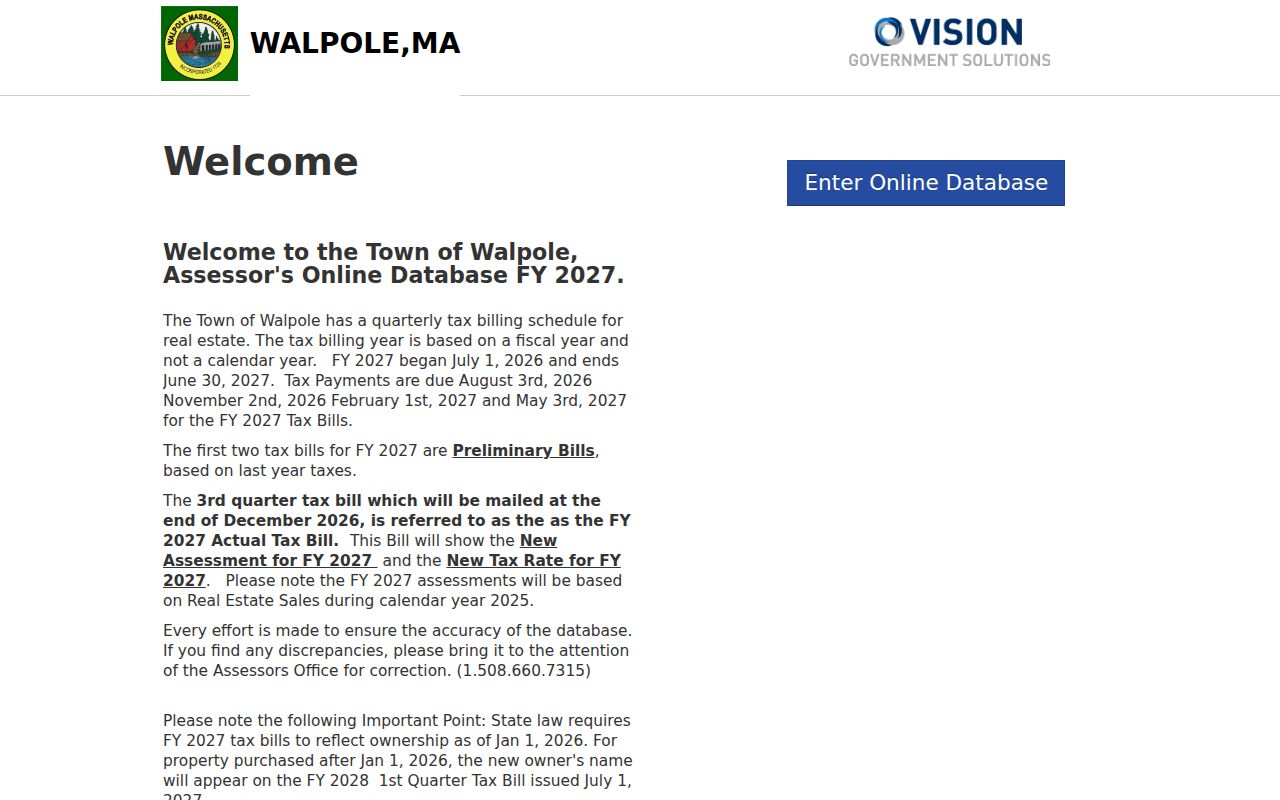
The assessor screen shows why an address or parcel key, rather than a ZIP-wide filter, is needed to move from postal geography to one parcel.
MassGIS can display parcel layers, an attribute table, and approximate five-digit ZIP polygons. It is helpful for visualizing aggregate geography, yet MassGIS states that USPS does not maintain an official ZIP map. Use USPS for a particular delivery address and the Registry deed or survey for the legal property question.
Note: Date each assessor or map result because tax snapshots and parcel releases do not update on the same schedule.
Walpole Postal Boundaries and Town Limits
ZIP boundaries are delivery routes represented by approximate polygons, not a clean municipal border. Nearby communities on the state precinct map include Dover, Westwood, Norwood, Canton, Sharon, Foxborough, Norfolk, and Medfield. A nearby postal city or county label does not relocate a Walpole parcel. For earlier records, the municipal history matters too: Walpole formed in 1724, and later changes involved Foxborough, Sharon, and Dedham.
The 2016 Postal Bulletin table records a historical ZIP-designation change involving East Walpole 02032 and South Walpole 02071, with 02081 and 02071 entries also listed. It is historical evidence, not a substitute for a current USPS address result. No official Walpole GIS layer showing legal delivery polygons was located.
MassGIS five-digit ZIP polygons can help show broad geography, but they are map approximations rather than a postal boundary file. Use a parcel layer to see municipal geography and a USPS result to test the delivery assignment. The 2021 state precinct map also places Walpole beside several neighboring communities, which is useful context when a postal label or historic record points beyond the town name.
- ZIP and ZIP+4
- A five-digit ZIP identifies a delivery area; the added four digits refine a delivery segment or address.
- PO box ZIP
- A postal ZIP assigned for box service, which should not be assumed to describe a street-delivery area.
- Unique ZIP
- A ZIP used for a single organization or delivery arrangement rather than a general area.
- Carrier route
- A postal delivery sequence within a ZIP, not a town boundary or proof of residence.
Walpole Postal Research Needs Safeguards
Some absences are intentional. Massachusetts protects confidential voter information, and the Address Confidentiality Program gives qualifying participants a substitute address and mail forwarding while the actual address remains confidential. Do not try to combine parcel, deed, postal, or directory records to defeat those protections.
For ordinary research, record the source, date, and relationship shown rather than compiling a personal dossier. A postal result can confirm a delivery assignment, a parcel record can document tax data, and a historical directory can place a name in a dated source. None should be used to harass, threaten, or expose a protected address.